Search and rescue operations after a natural or man-made disaster are always a daunting task, both physically and emotionally.
The thought of digging through dirt and debris to find a loved one usually gives an inner pain and helplessness. The worst scenario of course is when a loved one or loved ones are confirmed buried under soil or other debris and are found lifeless.
And this is not a rare scenario for a country like the Philippines, where typhoons, flooding and earthquakes happen frequently.
Climate change and the denudation of forests, the latter usually due to unnecessary commercial conversions of land use, are huge factors that aggravate the country’s ability to keep up when the consequences of these disasters strike.
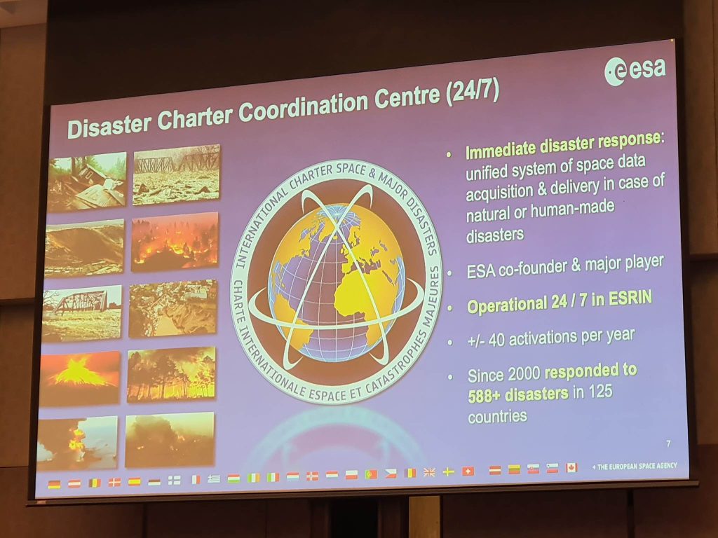
That is why the recently-launched 10M euro Copernicus Capacity Support Action Programme for the Philippines (CopPhil) is indeed a breakthrough in handling especially major disasters, devastations, and search and rescue operations should they come.
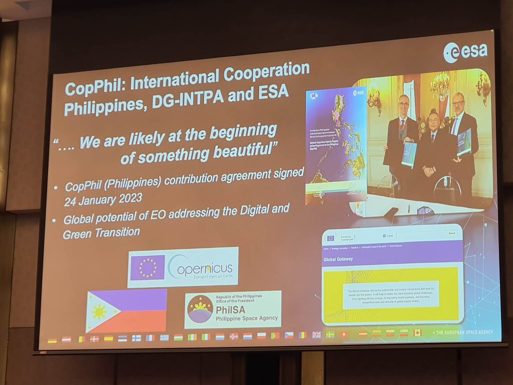
H.E. Luc Véron, European Union Ambassador to the Philippines, said “The Copernicus program for the Philippines is a pioneer initiative in Asia and Asia Pacific and a starting point for a larger program on Digital Connectivity. The program will enhance capacities for a stronger and more shock-resilient Filipino economy and society.”
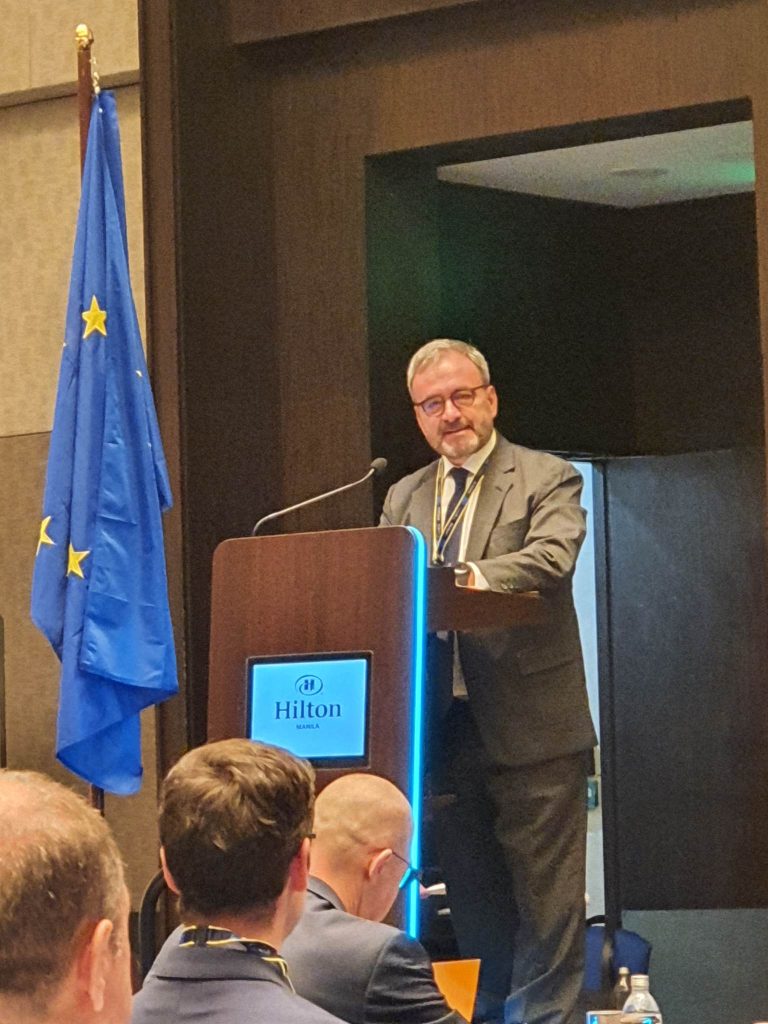
”In the long term the European Union is exploring the possibility to create a network of Copernicus partners in the ASEAN region aside from other parts of the world. The uptake of innovative technologies such as Copernicus will trigger growth, jobs and modernization of digital infrastructures that can be used in many sectors in the Philippines,” Ambassador Véron added.
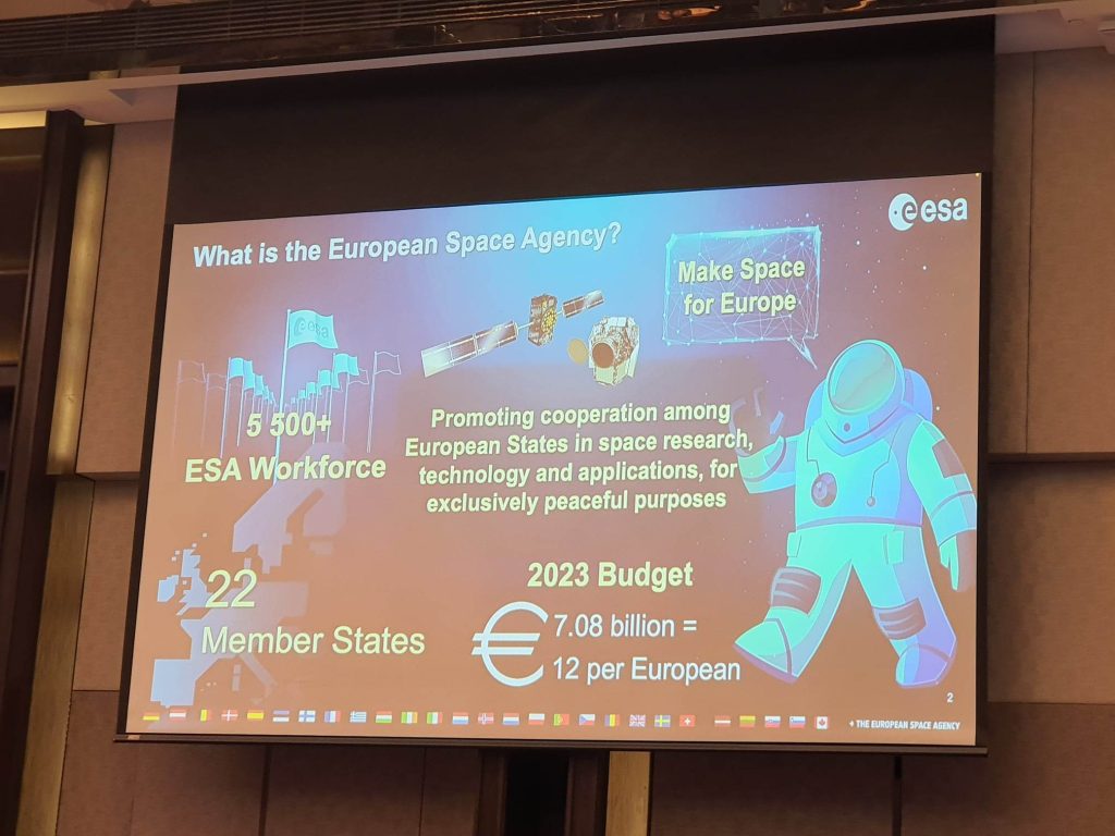
CopPhil is a three-year program funded by the European Union (EU) and implemented by the European Space Agency (ESA) and the Philippine government, to support the uptake of earth observation data and information services for environmental monitoring and disaster risk reduction.
The Philippines, a biodiversity hotspot, is among the world’s top vulnerable countries from natural hazards and climate variability.
Department of Science and Technology Secretary Renato Solidum stressed how the program will dramatically help the country.
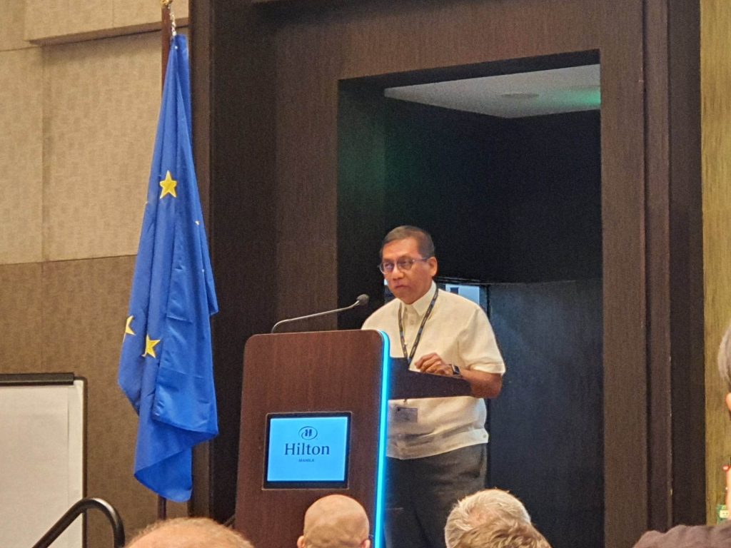
“We want to make use of the data from EU Copernicus Observation satellites and ground-based data collection systems to support Philippine Government’s capacities for decision making and monitoring of policy implementation based on timely and accurate data.
I believe that a key consideration in this matter is that we (1) gain an improved understanding of hazards and risks from the space perspective, (2) identify issues and challenges, (3) identify analysis tools currently used to support planning and decision-making, and (4) develop potential actions to address issues and needs,” the Secretary noted.
But already, Mr. Solidum said authorities are already making use of the CopPhil technology.
“Currently, the Department of Science and Technology (through the Advanced Science and Technology Institute and the Philippine Institute of Volcanology and Seismology) has been implementing activities and research for ground motion monitoring, flood detection and flood extent mapping.
We have been utilizing Sentinel datasets for landcover mapping, aquaculture monitoring, and even forest and watershed management monitoring around the Philippines. We continuously work hand-in-hand with our partners and stakeholders, especially with CopPhil, to establish and strengthen policies for effective disaster risk management, and build the capacity of national, provincial, and local disaster management institutions through technology proliferation efforts.”
But Mr. Solidum concedes his department and the Philippine Space Agency (PhilSA) cannot work just by themselves to achieve greater disaster resilience.
“To be most effective in reducing disaster risk, an integrated systems approach to governance, featuring string coordination and cooperation across sectors and levels is needed. The very reason why we have invited today government agencies, academic institutions, sectors, and partners involved in resilience building. Risk governance structures and policies need to be holistic and to work hand-in-hand.”
The social and economic cost of natural disasters in the country is increasing due to population growth, change in land-use patterns, migration, unplanned urbanization, environmental degradation and global climate change.
Reducing the risk of disasters will be key to achieving the development goals of the country. (Adopted, EU official press statement).
The Copernicus program is a cornerstone of the EU’s efforts to monitor the earth and its many ecosystems, as it ensures its citizens are prepared and protected in the face of crises and natural or man-made disasters.
It places a world of insight about the earth, at the disposal of citizens, public authorities and policy makers, scientists, entrepreneurs and businesses on a full, free and open basis.
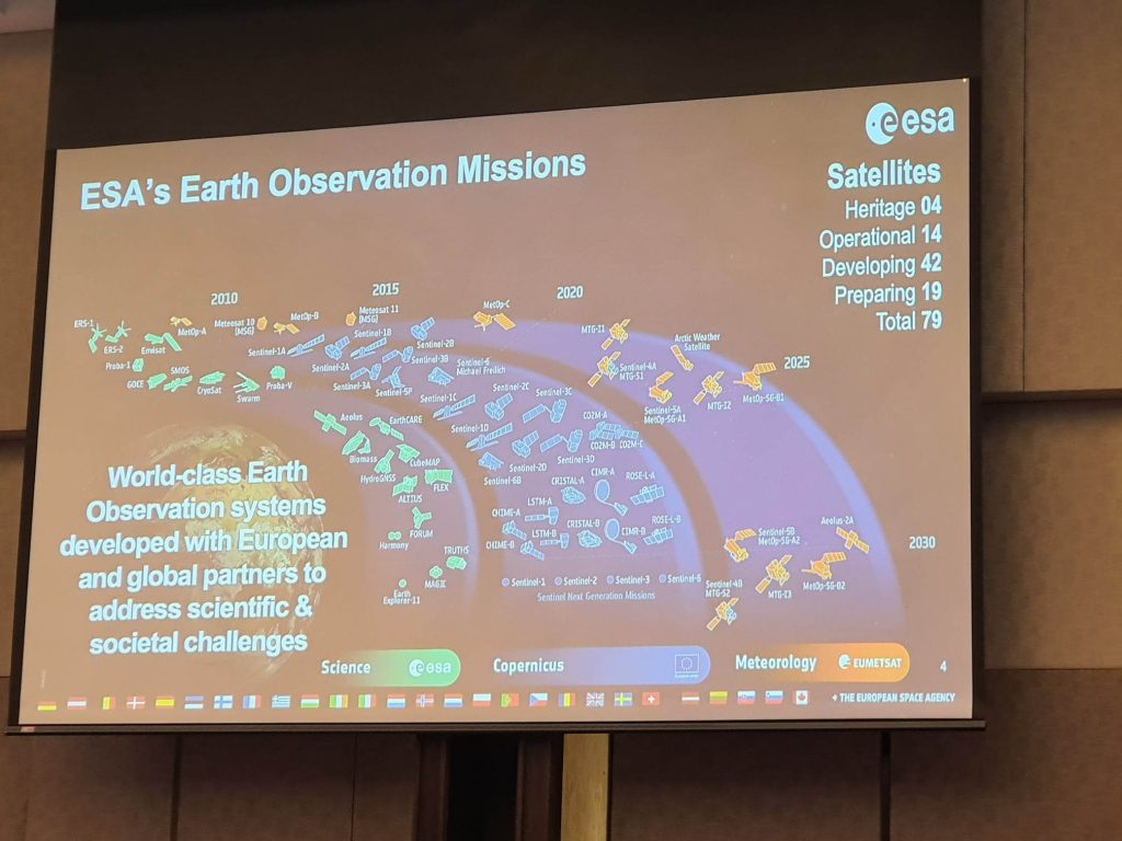
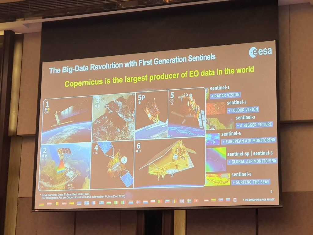
Copernicus services are based on information from a dedicated constellation of satellites known as “Sentinels,” as well as tens of third-party satellites known as “contributing space missions,” complemented by “in situ” (meaning local or on-site) measurement data.
In brief, this is how the Sentinels “work.”
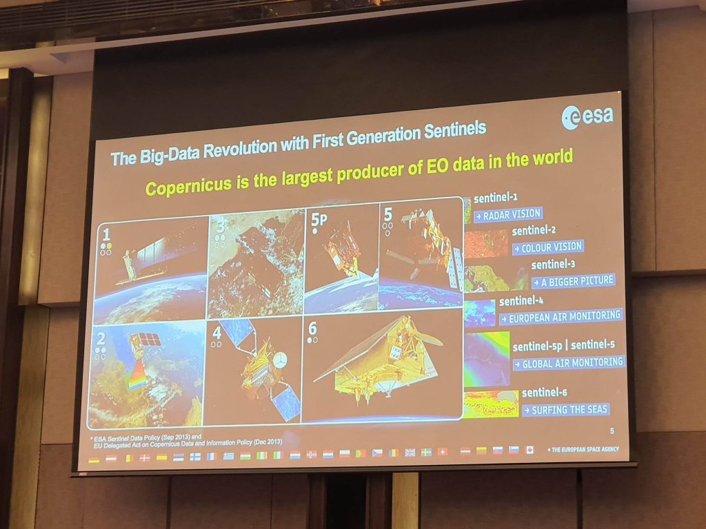
Sentinel 1 is able to monitor all weather, day/night applications, interferometry (a measurement method using the phenomenon of interference of waves, usually light, radio or sound waves).
Sentinel 2 on the other hand, is able to “see” land applications: urban, forest, agriculture, continuity of Landsat.
Sentinel 3 monitors wide-swath ocean color, vegetation, sea/land surface temperature, altimetry (the measurement of height or altitude).
Sentinel 4 does atmospheric composition monitoring; pollution; instrument of MTG satellites.
Sentinel 5 also does composition monitoring; instrument on Met-Op-SG satellites.
Sentinel 6 does altimetry reference mission.
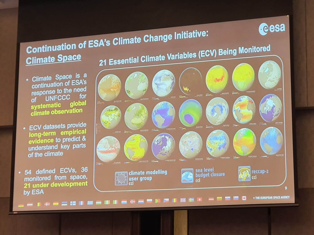
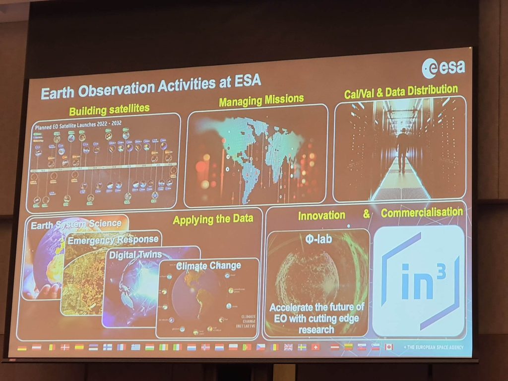
The Copernicus satellite data is considered the biggest earth observation program in the world with global coverage and continuous data acquisition.
In the Philippines, the Copernicus Sentinel missions provide a wealth of satellite data that can be used for disaster risk reduction.
Some examples where these satellite data can help the country are on risk mapping. Sentinel data can be used to map areas of high risk and vulnerability. This information can be used to identify areas that are most in need of risk reduction measures and prioritize investments in infrastructure, such as building sea walls or reinforcing river banks.
Another avenue where these data can help is on early warning. Sentinel data can be used to detect and monitor potential hazards, such as landslides and volcanic eruptions.
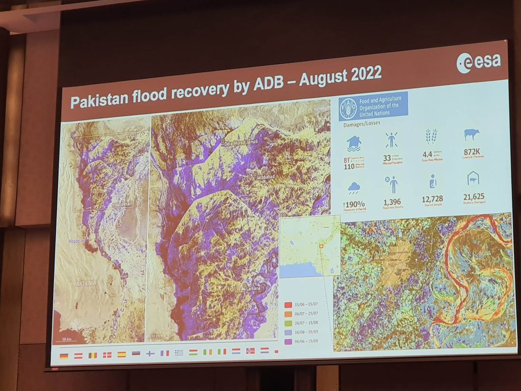
The third area where these data can help is in rapid response. Sentinel data can be used to assess the extent and severity of disasters as they happen. This information can be used to prioritize and coordinate emergency response efforts.
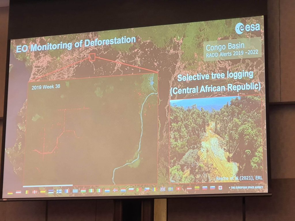
Finally, in climate adaptation, Sentinel data can be used to monitor changes in the environment over time. This information can be used to develop climate adaptation strategies that can help communities better prepare for and respond to the impacts of climate change.


